Research
From sensing hardware to geophysical and positioning products.
My work connects radar instrumentation, signal processing, estimation, and field validation to build practical remote-sensing and navigation systems.
01 · DroneSAR
UAV-Based Synthetic Aperture Radar
DroneSAR is a compact S-band synthetic aperture radar platform designed for flexible, high-resolution measurements at agricultural field scale. I lead the end-to-end development effort, from system integration and flight experiments through signal processing and science-product generation.
- S-band FMCW radar imaging from a multirotor UAV platform
- Polarimetric calibration, motion compensation, and SAR image formation
- Georeferencing and generation of calibrated, analysis-ready radar products
- Field campaigns connecting radar observations with in-situ soil and vegetation measurements
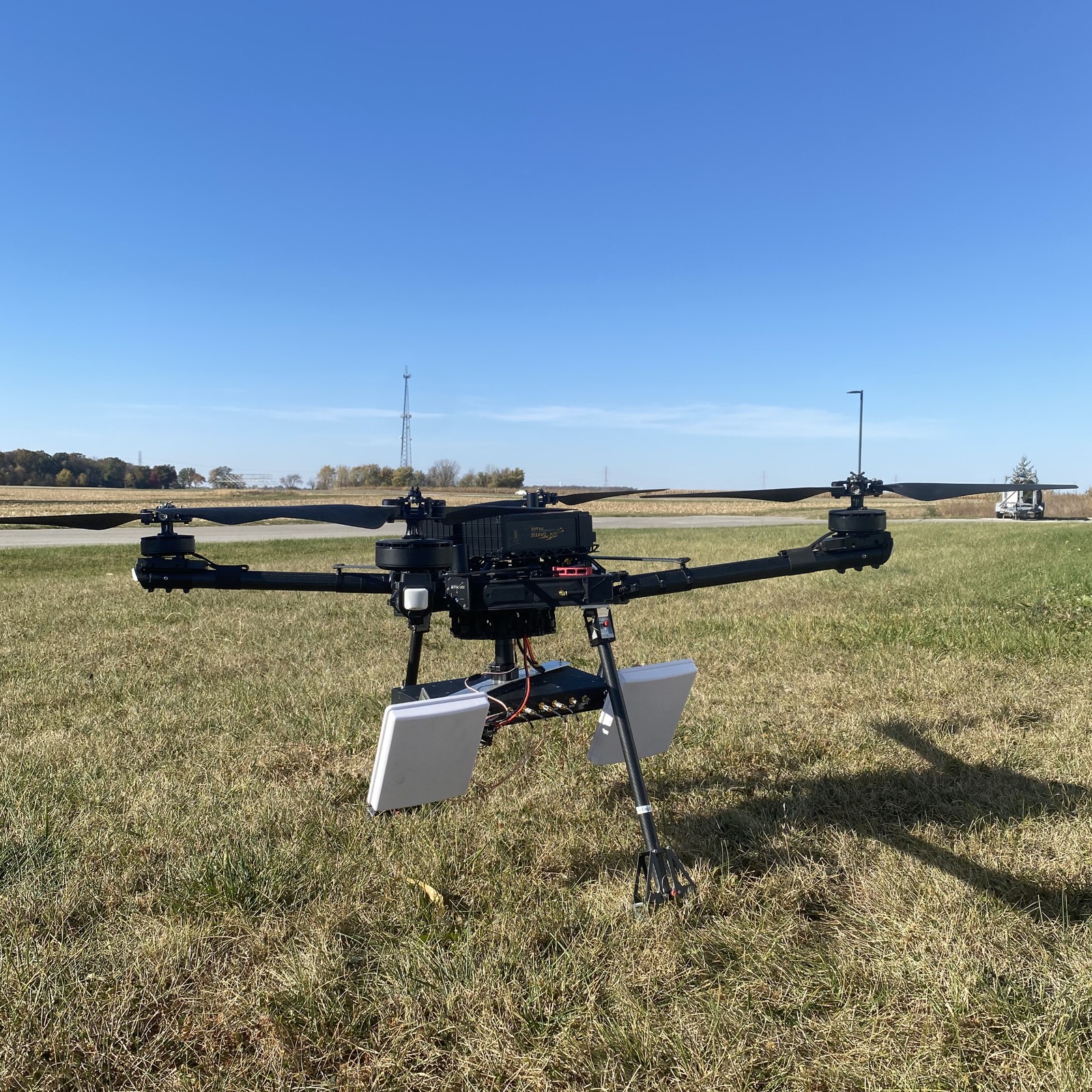
DroneSAR platform photo and demo video.
02 · Retrieval
Soil Moisture & Agricultural Remote Sensing
A major goal of DroneSAR is to turn high-resolution backscatter measurements into useful geophysical products. My research develops and evaluates soil-moisture retrieval methods across changing soil roughness, precipitation, and vegetation conditions, with an emphasis on rigorous field validation.
- Physics-based and empirical soil-moisture retrieval
- Bayesian estimation and uncertainty-aware retrieval methods
- Time-series analysis across wetting and dry-down events
- Extensions toward biomass and other agricultural products
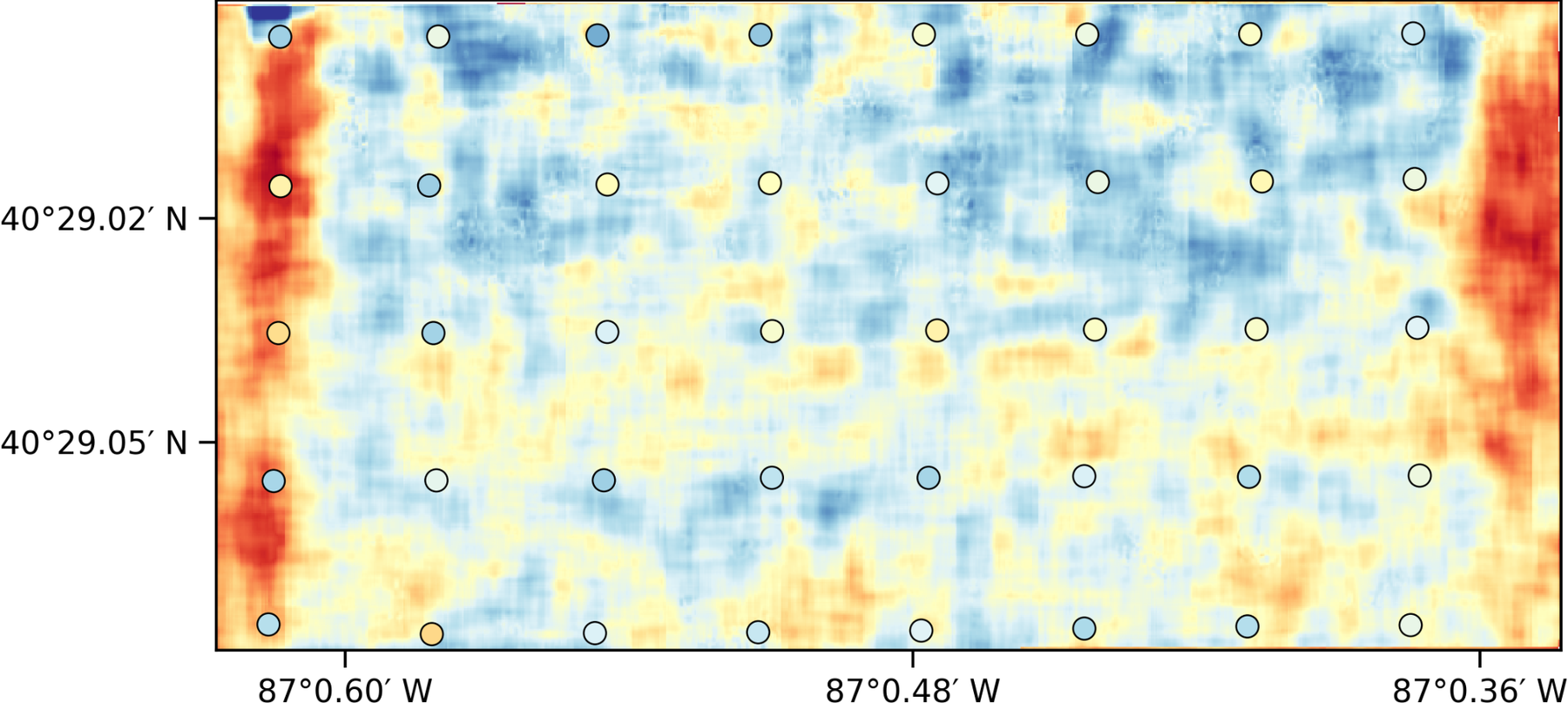
Example field-scale soil moisture map from UAV SAR observations.
03 · SoOp / GNSS-R
Signals of Opportunity for Earth Observation
I have contributed to research using existing communication and navigation transmissions as illumination sources for remote sensing. This includes work related to SNOOPI, a CubeSat demonstration of P-band signals-of-opportunity remote sensing, and participation in the CYGNSS research community.
- Bistatic and passive microwave remote sensing
- GNSS reflectometry and signals-of-opportunity concepts
- Mission operations and science applications for small-satellite sensing
- Soil moisture and land remote sensing across multiple microwave bands
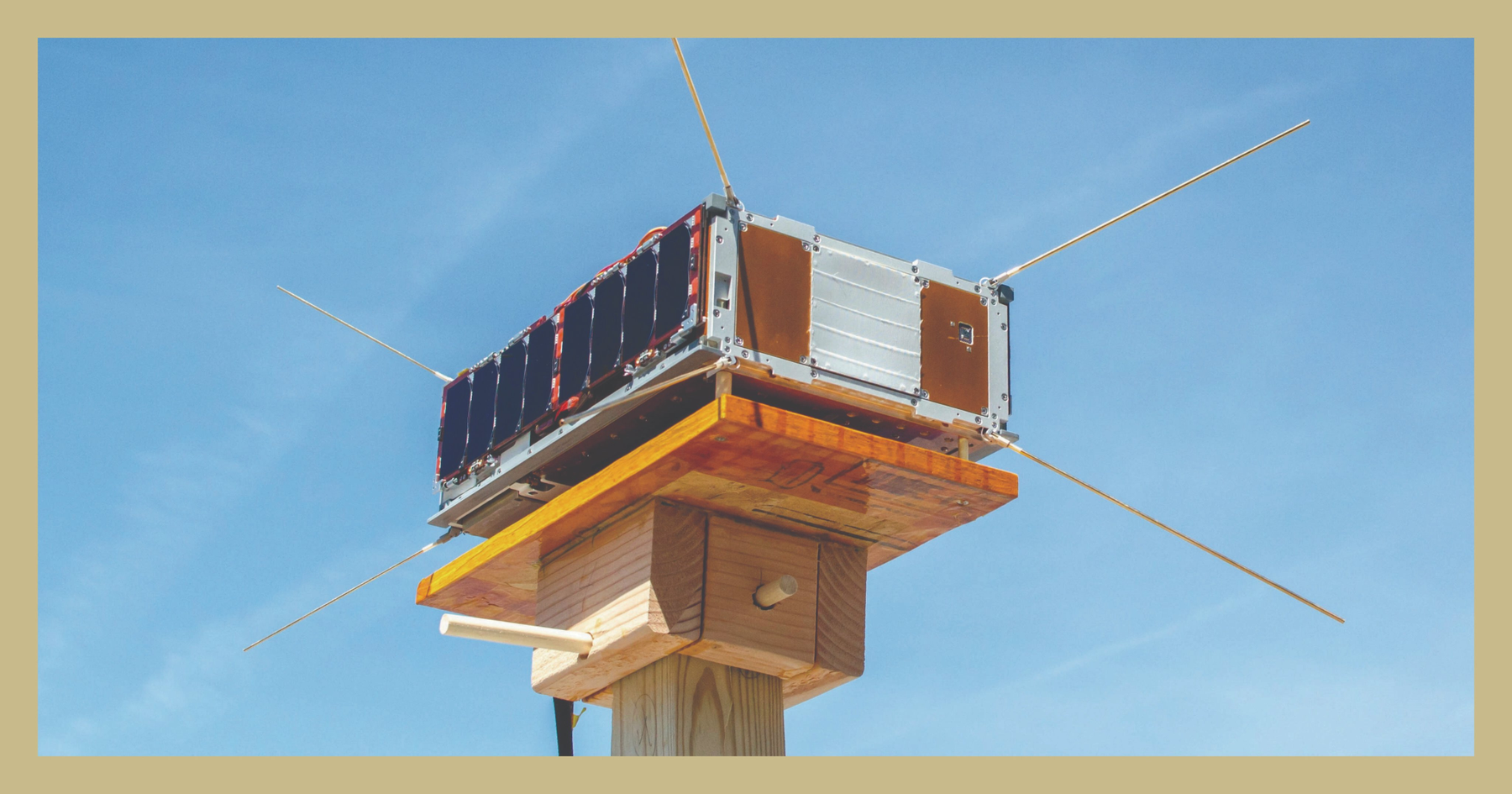
SNOOPI mission concept for P-band signals-of-opportunity remote sensing.
04 · Estimation
Navigation & Multi-Sensor Fusion
My navigation work focuses on robust estimation when individual sensors become intermittent, biased, or locally accurate but globally drifting. I am particularly interested in architectures that combine visual-inertial information with GNSS and other absolute measurements.
- Visual-inertial odometry (VIO) and GNSS integration
- Kalman filtering, smoothing, and factor-graph formulations
- Error-state and stochastic sensor modeling
- Performance evaluation under degraded sensing conditions
Current emphasis
- Robust positioning in real-world environments
- Architectures that blend relative and absolute sensors
- Evaluation workflows for drift, bias, and degraded sensing
- Bridging estimation theory with deployable systems
This area connects my academic work with applied industry-facing positioning problems.
05 · Industry
Internship / Corporate Project Experience
In summer 2026, I joined Qualcomm as a Location Technology Intern. The public description here is intentionally high-level, but the work aligns with my broader interests in positioning, navigation, estimation, and sensor fusion.
- Applied positioning and sensor-fusion workflows
- Analysis of system performance under challenging sensing conditions
- Use of visual-inertial, inertial, and absolute measurements in location pipelines
- Research-to-product thinking for deployable location technology
Because this is industry work, proprietary details are not included on the public site.
See Qualcomm, Samsung Semiconductor, and Micron internship experience →

Applied research · Summer 2026
Location Technology
The same estimation questions appear across remote sensing and navigation: how to combine imperfect measurements, represent uncertainty, control drift, and turn raw observations into reliable products. My internship complements my academic work by applying these ideas in an industry location-technology setting.
Public description only; proprietary implementation details are intentionally omitted.